Albarracín, day 1

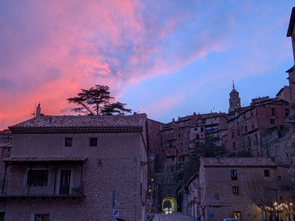
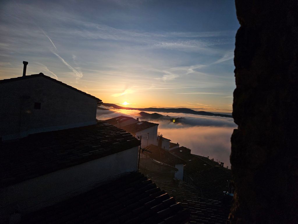
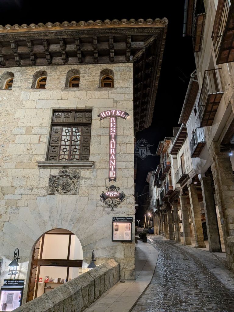
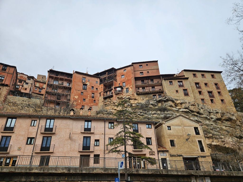
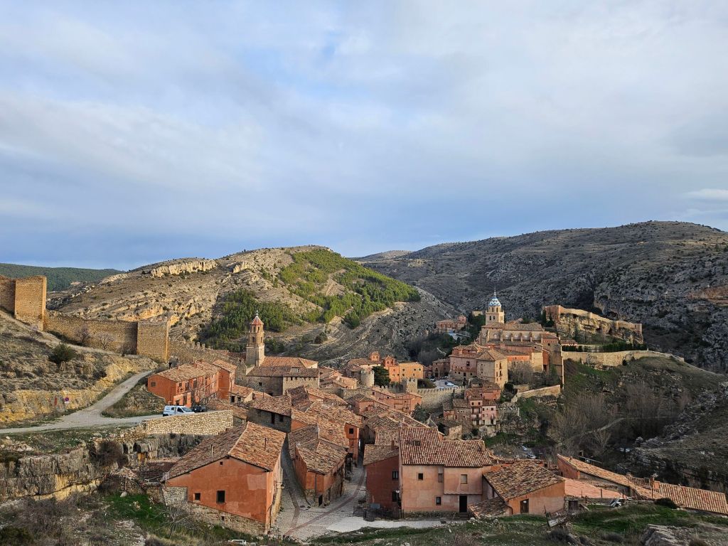
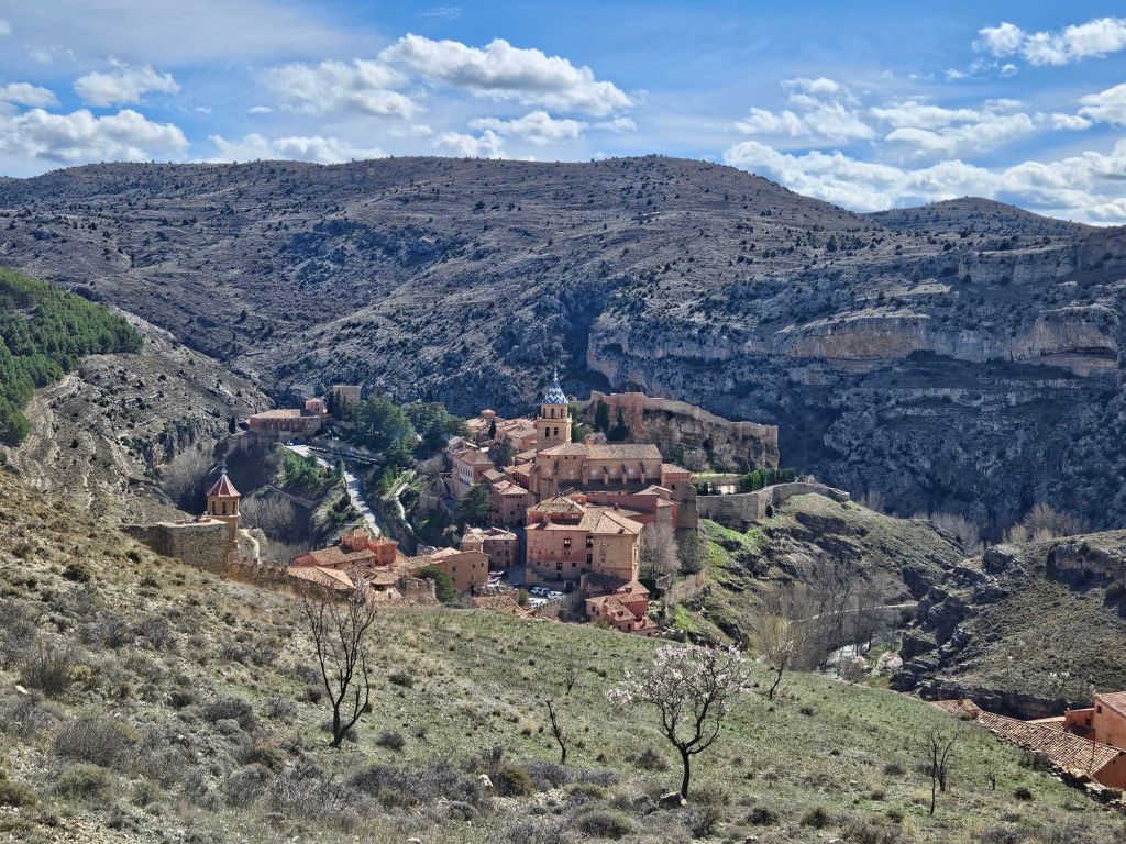
After our wrong way, steep hill, narrowly avoiding death drive into Morella (ok, it wasn’t that bad, just that stressful) I congratulated myself on having insisted on a hotel at the bottom of the hilltop town of Albarracin. That’s our hotel at the bottom of the pic above, with the first layer of the old town visible above. I took the photo from the easy access, large level parking lot just across the street.

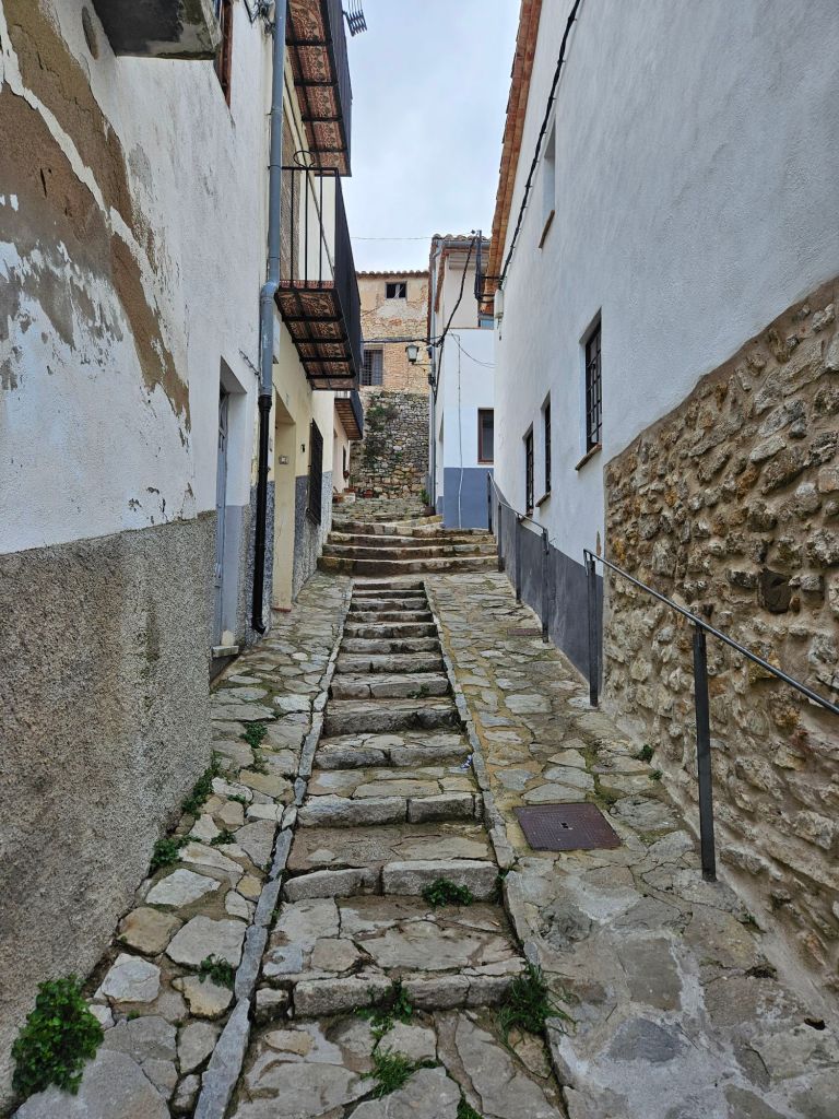
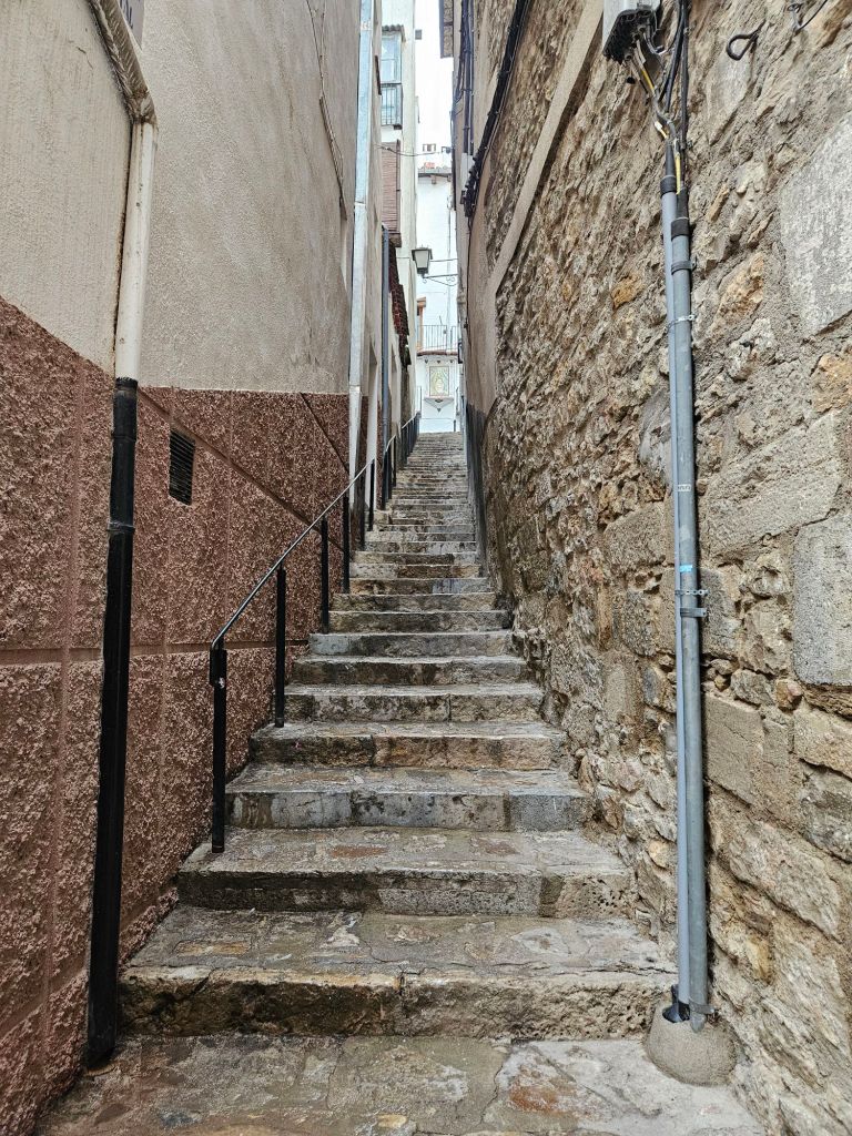
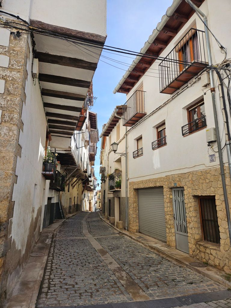
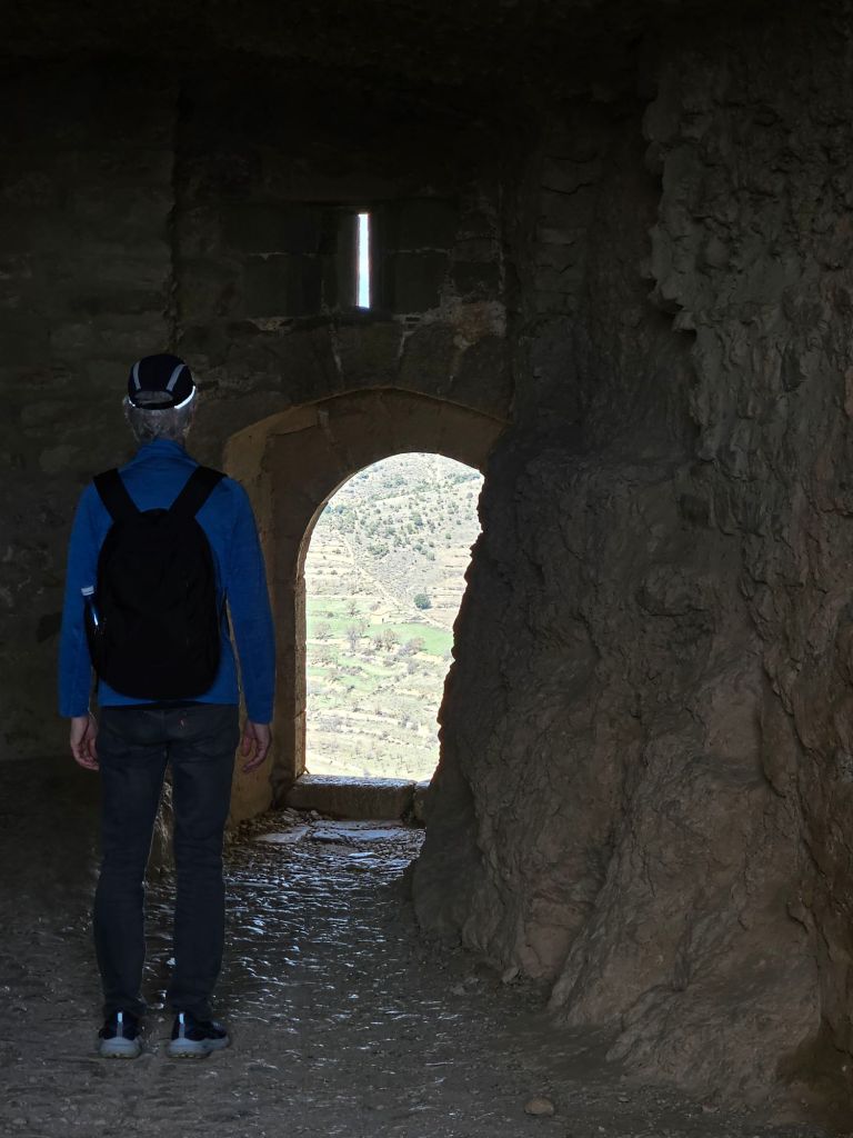
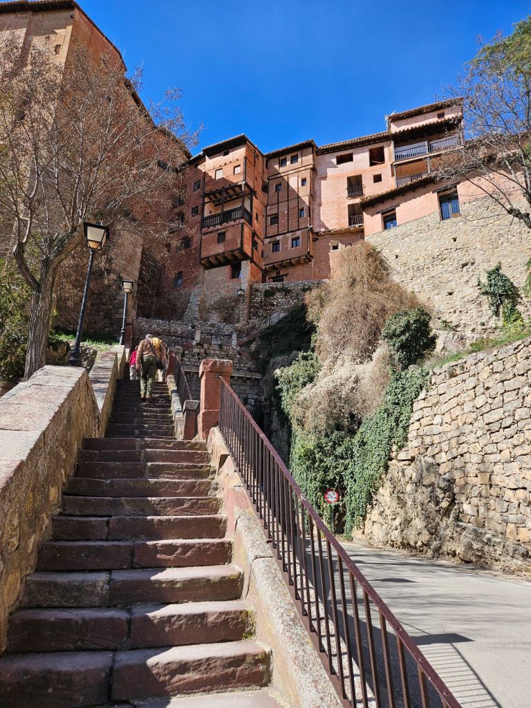
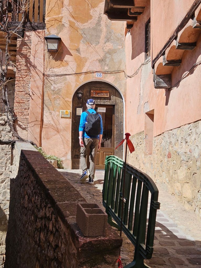
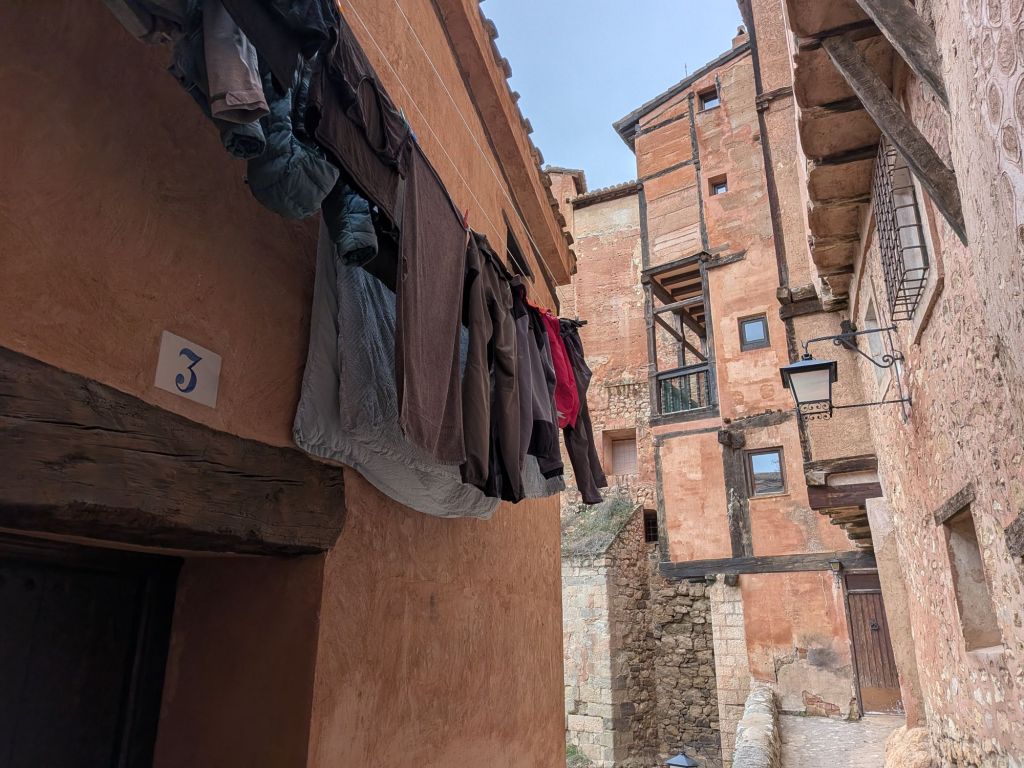
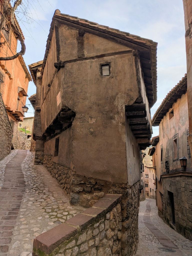
And then we decided to go exploring. Up the stairs. And up, and up, and up, through tiny cobblestone  “roads” and passageways. Over 100 steps just to get to the lower part of the old town. My thighs and lungs were questioning my hotel choice.

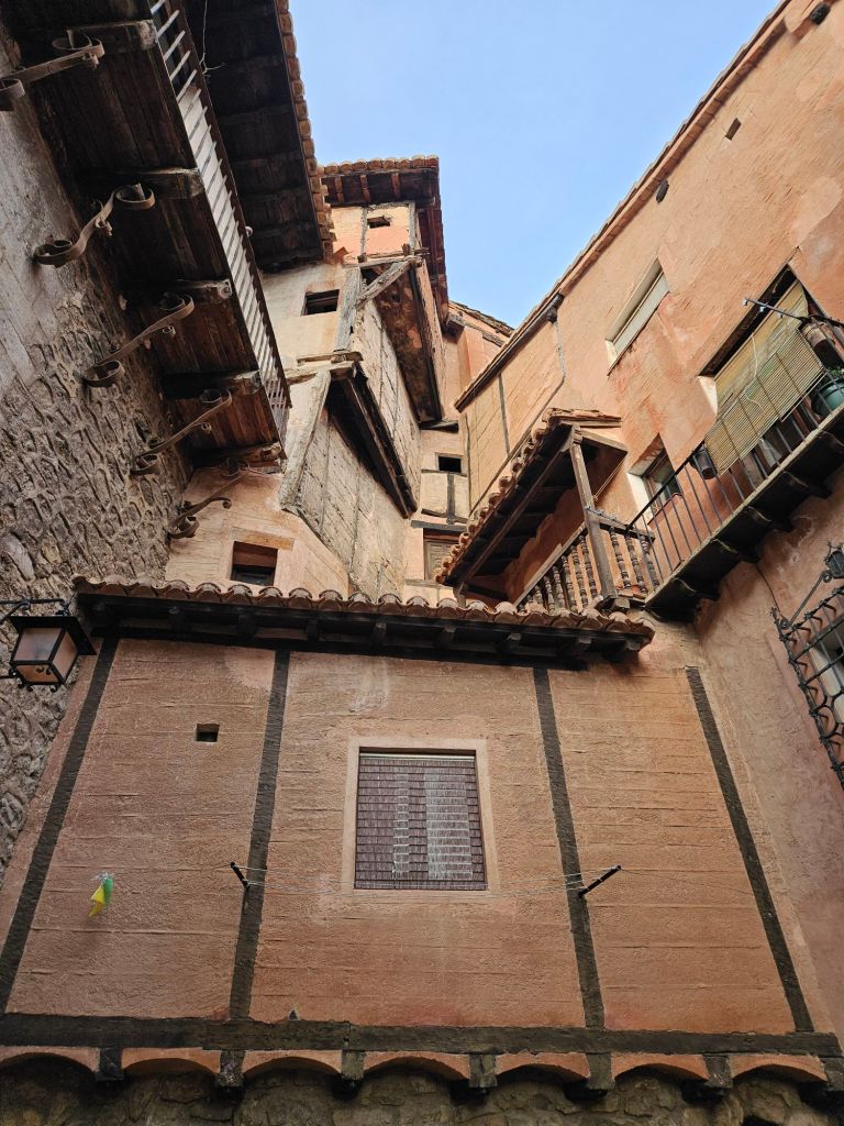
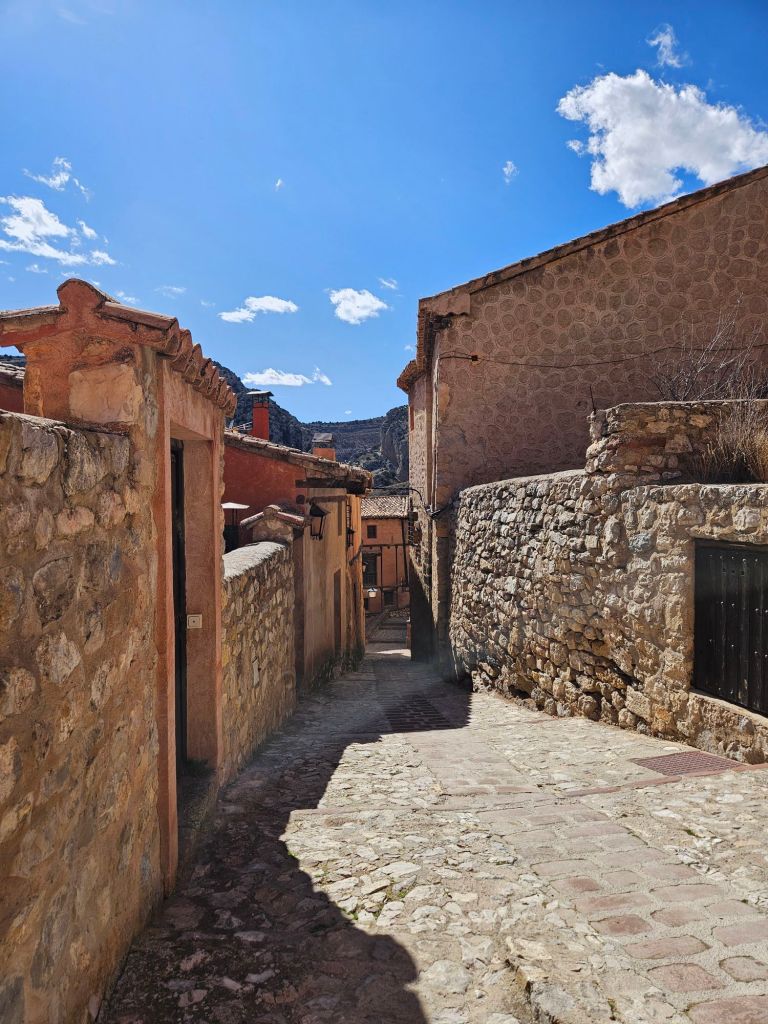
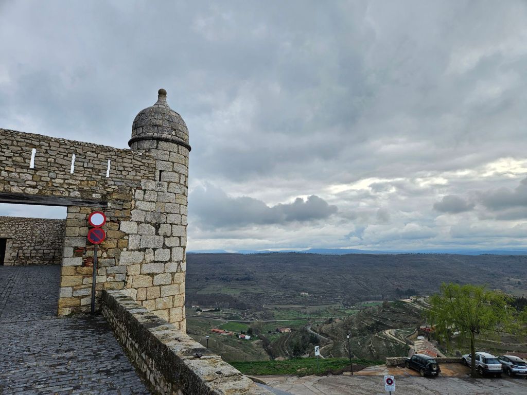
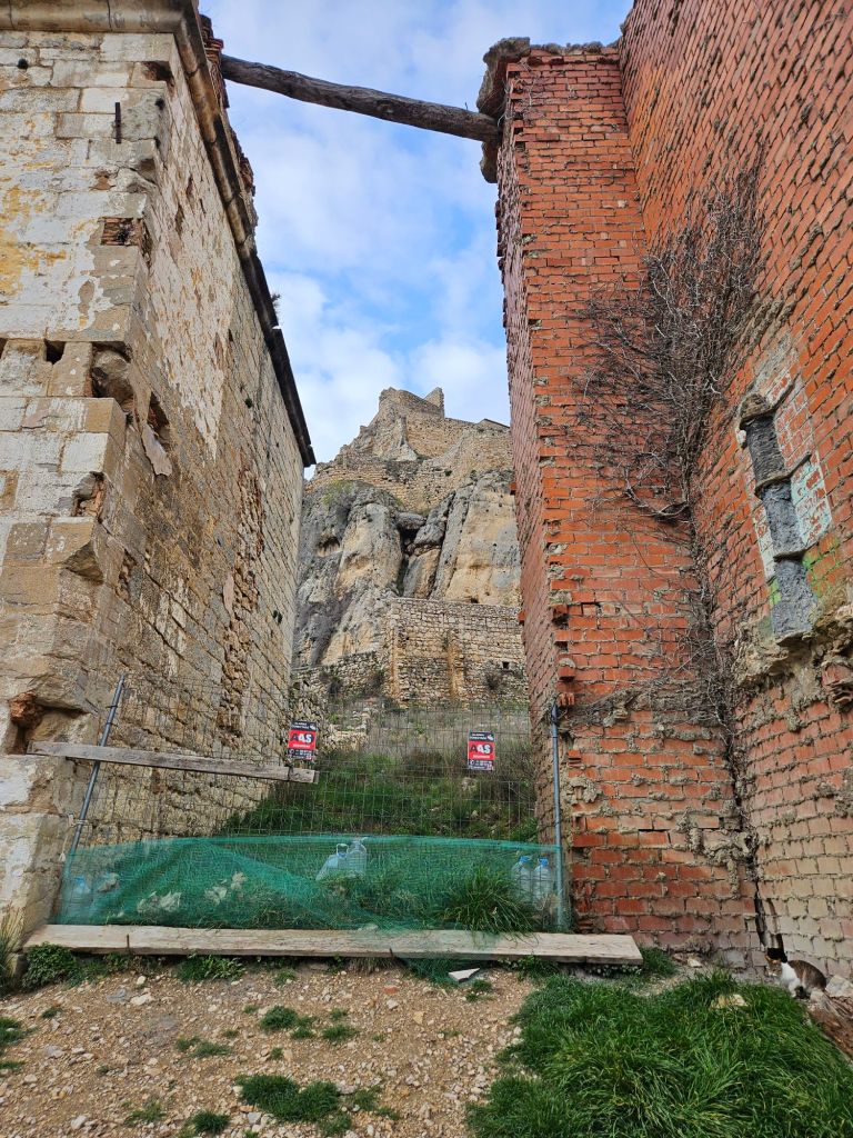
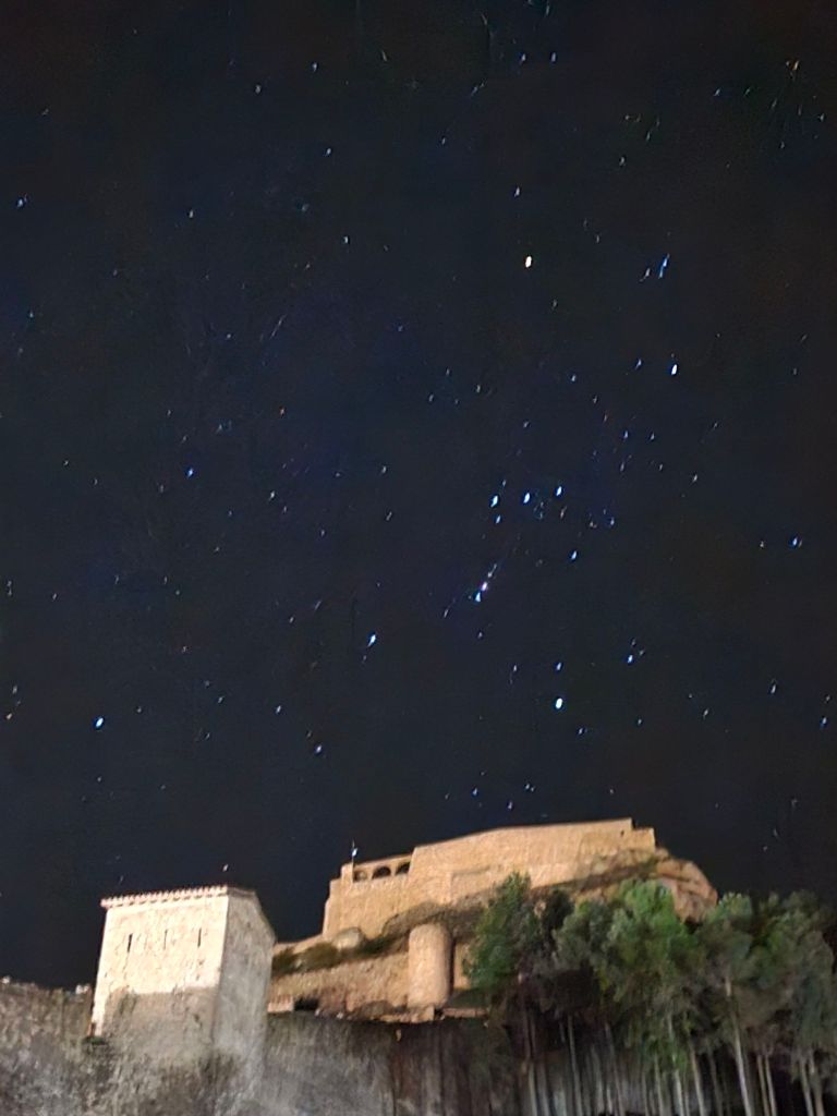
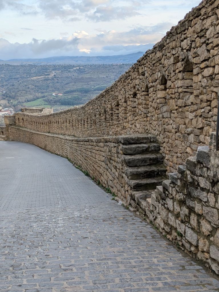
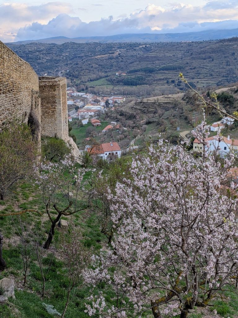
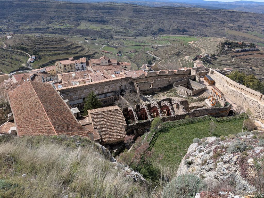
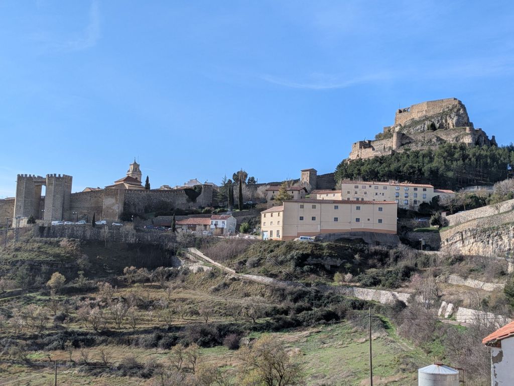
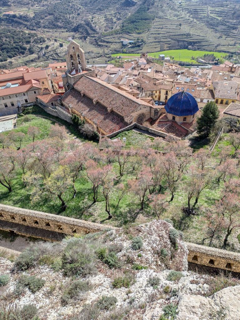
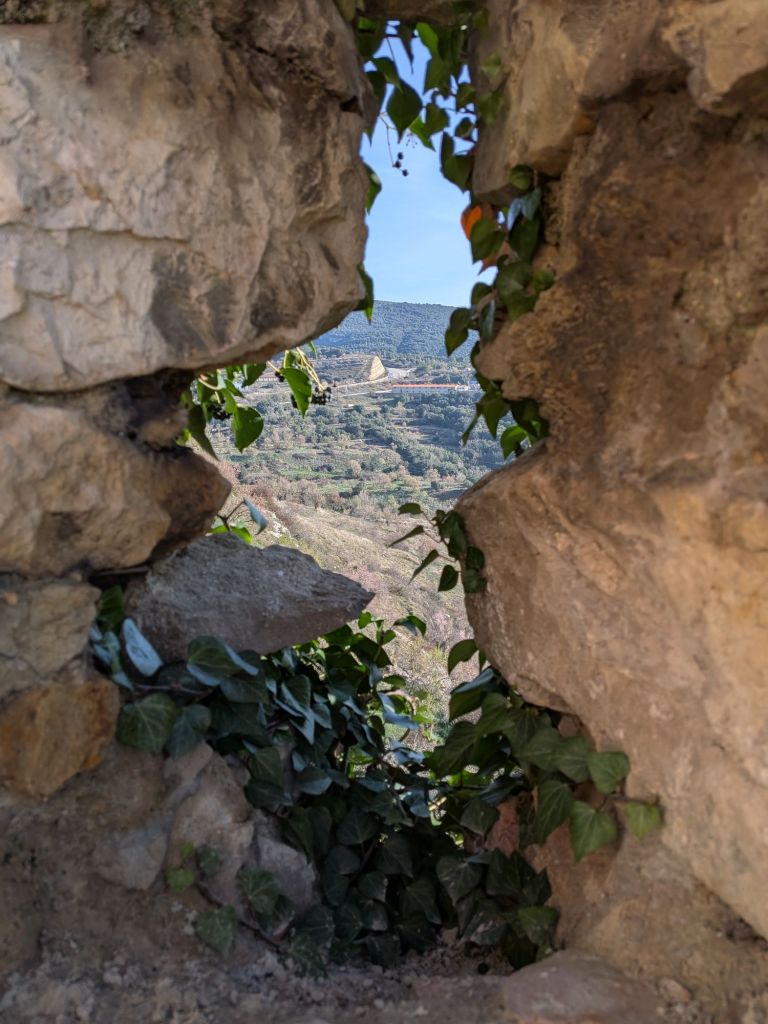
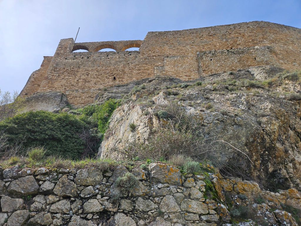
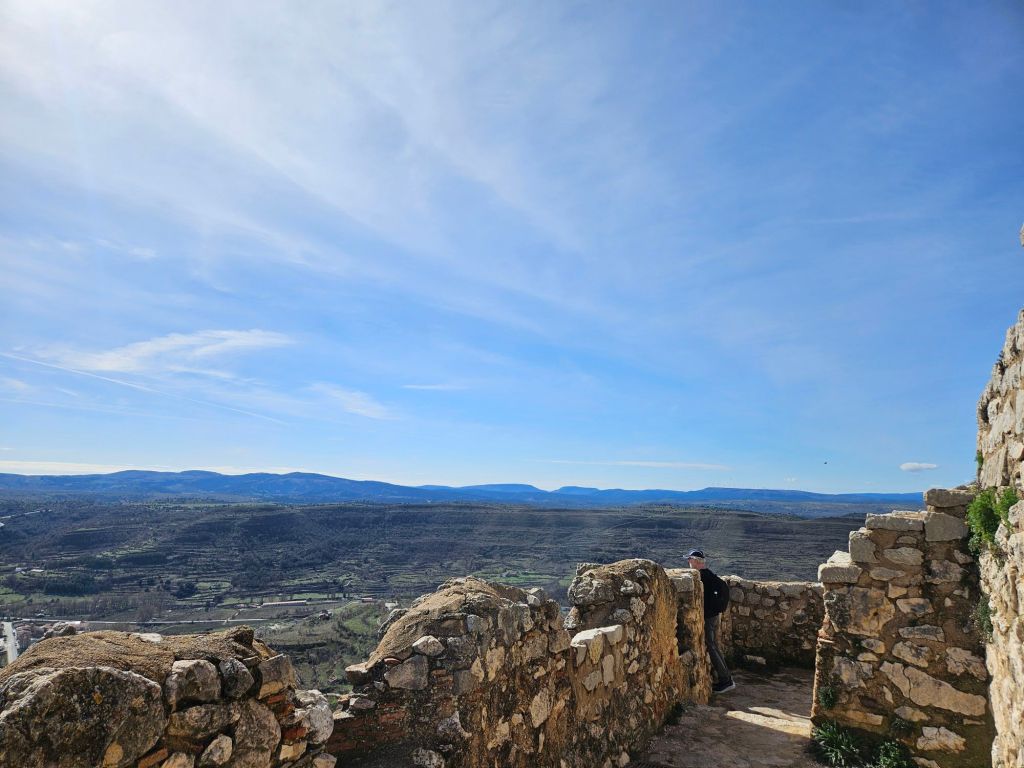
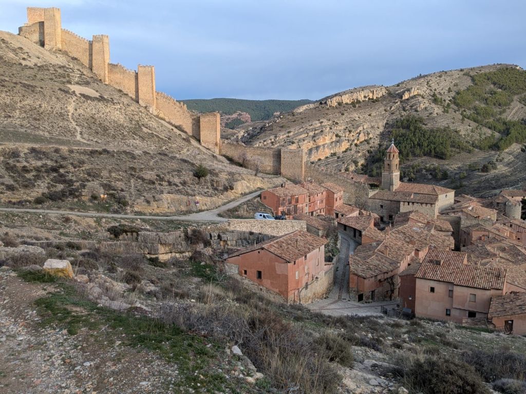
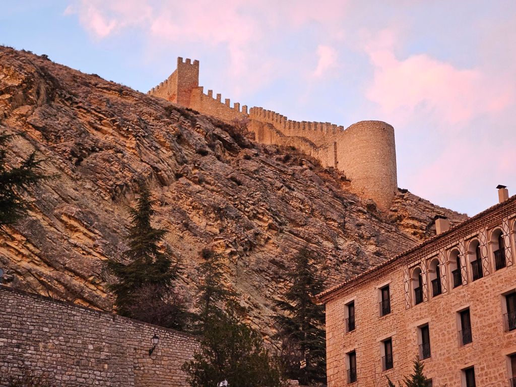
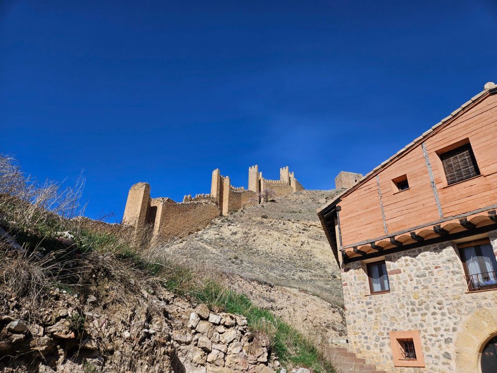
But eventually we got above the town to the walls. From there we could see the oldest castle and wall parts off to right–originally Arabic and built around 900 AD–and to our left the new walls, built around 1600 AD by the Christians. In between, in a vaguely kidney bean shape dictated by the river gorges, the town.

Eventually we made our way down and back to our 2 two star but very comfy hotel El Meson de Gallo. (Very grateful for the enthusiastic radiators. Went down to 32 each night.)

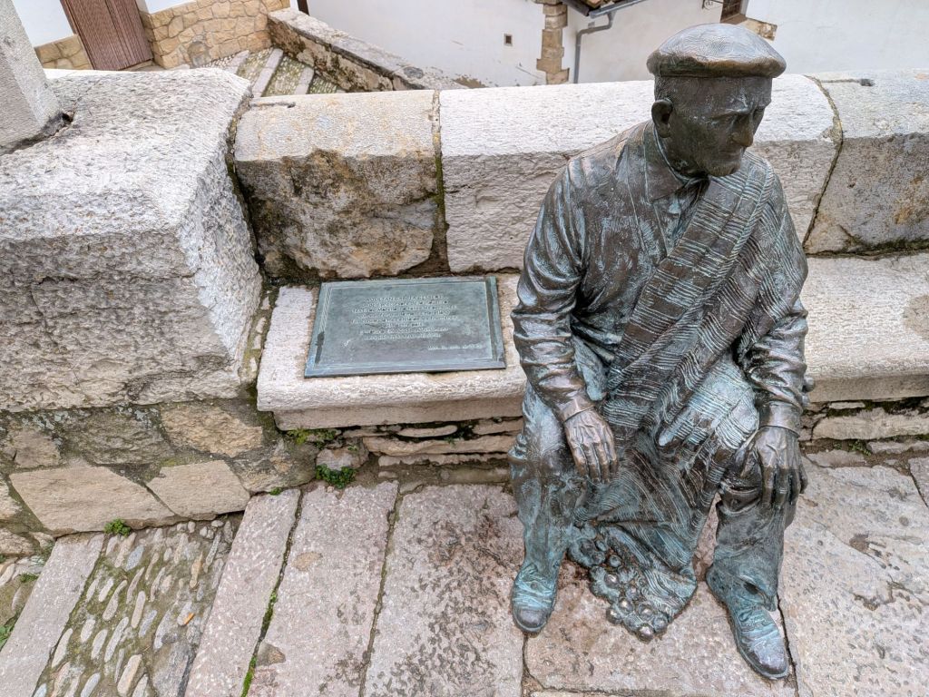
After a brief respite, time for dinner. Back up the stairs again, though this time we found a route with only 54 actual steps and the rest a steep cobblestone road. Not much was open (mid-week during the off season), but we landed in a delightful tiny 4 table bar, where the waitress was kind and the food basic but tasty – an excellent ratatouille with an improbably huge fried egg on top; a big mound of patatas bravas – and the walls and ceiling covered with penned in names of anyone who had ever visited.

Back down the hill and to bed.

Oh look, a snow plow

I tried not to think of this as an ominous sign as we headed into the mountains.

Fortunately, only small patches of snow remained at the top of the passes we drove through.

The landscape was both large and wild, yet dotted with small farms and towns in various states of repair.

First pic above is the town of Cantavieja, seen from below, an especially dramatic place clinging to the prow of a mesa; the approach up that side is 1000 vertical feet of hairpins. But then on the other side you keep climbing, and climbing, to about 6000 ft. The last pic shows Cantavieja (left of center) far below, lost in the vastness of the landscape.

That was the first of three or four big ridges we crossed. Grateful for a brand new rental car (12 km on the clock when we picked it up) with new brakes.

El castillo de Morella

The “prettiest village in Spain” claim has some stiff competition in my experience, but Morella is certainly impressive. After our lovely, rural-feeling morning circumnavigation, we paid €5 at a little gate and climbed to the top. Gorgeous view down onto the rooftops – red Terra Cotta for nearly everything except the occasional blue dome (signifying prosperity) for the churches.

100 or so steep, steep steps to the top. Much of what’s left is C15; of that, quite a bit was torn down in the C18 to make way for cannons when the Spanish were defending themselves against the French.

Morella ruta del Dino

When we arrived in Morella, we asked for a lunch recommendation. At nearly 3pm on a Wednesday, out of tourist season, our choices were very limited. So we ran quickly into the one nearby that was still open. We ate until bursting, but in the end didn’t finish even half our mains. Far more meat than either of us was ready for.

We waddled off for a much needed exploration of the town, groaning slightly at the steepness of the streets and making note of the next day’s opening hours.  Eventually we headed back to our hotel for the night–funny how you don’t need dinner when you’ve gorged late in the afternoon.

The genuine fun began the next morning. Since nothing opened before 11, we decided to walk the Ruta del Dino.

Local resident, 140 million years ago

This path was supposed to take us down out of town, under the medieval aqueduct, and out past an area when dinosaur footprints are still visible in the rock.

We found the aqueduct located next to the remains of a 13th century leper hospital.

Aqueduct from above, at lower left; another bit we didn’t get to is barely visible near top

We didn’t find the dino route. We did, however, find a lovely path circling under the hill (mountain? mesa?) that the town is built atop. Long vistas, cow bells, terraces and walls wherever we looked, all bathed in sunshine.